
Powerful 6.7 Magnitude Earthquake Strikes New Zealand, Tsunami Threat Still Under Review
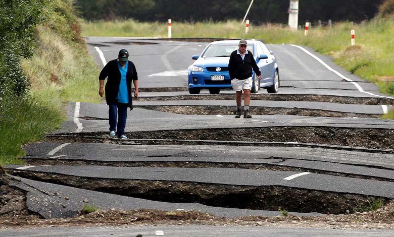
A powerful 6.7 magnitude earthquake rocked New Zealand’s South Island on Tuesday, sending tremors through the region and prompting immediate safety warnings.
The quake struck offshore, triggering an assessment by the country’s disaster agency to determine whether a tsunami threat exists.
The National Emergency Management Agency has cautioned residents in the Southland and Fiordland areas to stay clear of beaches and marine zones, warning of dangerous and unpredictable currents in the wake of the tremor.
Geonet, New Zealand’s government seismic monitor, confirmed that over 4,700 people reported feeling the quake, with media outlets reporting shaking buildings and items tumbling off shelves.
The earthquake, recorded at a depth of 33 kilometers (21 miles), hit approximately 160 kilometers (99 miles) northwest of the Snares Islands, situated off the country’s southern coast.
The United States Geological Survey initially recorded the quake as a 7.0 magnitude event but later revised it to 6.7. The tremor struck at a relatively shallow depth of 10 kilometers (6 miles), adding to its intensity.
Australia’s national weather bureau has assured that no tsunami threat exists for the mainland, islands, or territories. New Zealand, located on the seismically active “Ring of Fire,” remains a hotspot for such earthquakes due to its position along a vast network of volcanoes and ocean trenches encircling much of the Pacific Ocean.
As authorities continue to monitor the situation, the people of New Zealand remain on high alert, bracing for any potential aftershocks while awaiting further updates on the threat.